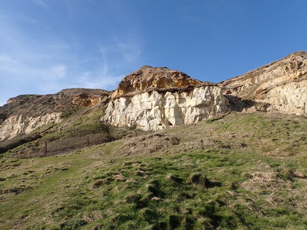
Arc of Attrition 50 Mile
- Total distance: 80.467 km
- Location: Coverack, Cornwall
- Race Date: 24 Jan 2027
- Finish rate: 80%
- Navigation: Partial Self-Navigation
- Nearest Station: Penzance (16.7 km)
- Aid Stations: 5
- Night Running: 39.7% in darkness
- Pacing Complexity: Moderate (45/100)
Arc of Attrition 50 Mile Overview
No overview text has been written for this race yet.
Quick Facts
- Entrance Cost: Unknown
- Organiser: UTMB
- Start Town: Coverack, Cornwall
- Dogs Allowed: Unknown
- Start Date: 24 Jan 2027
- End Date: 25 Jan 2027
- Start Time: 9:00 AM
- Final Cut-off: 15.5 hours
Navigation
- Type: Partial Self-Navigation
- Closest Train Station: Penzance
- Distance from Start Line: 16.7 km
Eligibility
- Minimum Age: Unknown
- Gender Eligibility: All genders
- Minimum Entry Criteria: Unknown
Terrain & Elevation
The course covers a genuine mix of surfaces, with trail (37%) and grass (20%) being the most common and neither clearly dominating. The terrain is highly fragmented, switching roughly every kilometre. This demands constant mental engagement and limits the ability to build a sustained rhythm from surface consistency alone. Climbs are mostly on trail, though the surface varies across the ascents. Descents cover a variety of surfaces with no single terrain type dominating.
- Trail / Path37% · 27 km
- Grass20% · 14.4 km
- Paved Road13% · 9.3 km
- Rocky13% · 9.1 km
- Gravel / Track9% · 6.7 km
- Sand8% · 5.8 km
Distance
80.3 km
Ascent
2694 m
Descent
2620 m
High Point
120 m
Technical km total
11.2 km
% of course
14%
In final third
11.2 km
In first third
0 km
11.2 km of technical terrain arrives in the final third — when fatigue is highest and foot-placement errors are most likely. Specific preparation on this terrain type, especially late in long training runs, is essential.
This race has a flat section early on in the race, before a flat section until about 26km, before a flat section until about 42km, before a long, flat stretch for the final 37km.
Compared against 27 other races of a similar distance, Arc of Attrition 50 Mile has more total elevation gain than 63% of them, and more elevation gain per kilometre than 59% of them — roughly typical in hilliness for its distance.
Source: GPX Data
Climate
Navigation
Arc of Attrition 50 Mile is partial self-navigation: some sections are marked, but runners are expected to navigate independently — with a map, compass, or GPX file — for the rest of the course.
Source: Not recorded
Aid Stations
Stations
You'll need to keep an average pace of 5.2 km/h between aid stations to make the cut offs.
Stations
| KM | Name | Gap from Prev | Cut-off | Water | Cold Food | Hot Food | Hot Drinks | Gels | Medic | WC | Bags | Crew |
|---|---|---|---|---|---|---|---|---|---|---|---|---|
| 7.5 | 7.5 km | – | ✓ | ✓ | – | – | ✓ | – | ✓ | – | – | |
| 23.5 | 16.0 km | – | ✓ | ✓ | – | – | ✓ | – | ✓ | – | – | |
| 51.2 | 27.7 km | – | ✓ | – | ✓ | ✓ | ✓ | – | ✓ | ✓ | – | |
| 61.8 | 10.6 km | – | ✓ | ✓ | – | – | ✓ | – | ✓ | – | – | |
| 73.5 | 11.7 km | – | ✓ | – | – | – | ✓ | – | ✓ | – | – |
None of the aid stations on this course are confirmed to offer vegan food, so vegan runners should plan to carry their own nutrition.
Source: Race Website - Explicit
Night Running
Arc of Attrition 50 Mile starts at 09:00 local time, with sunset around 17:00. Based on the median finisher time of 13:16:02, a runner at that pace would finish around 22:16 — after dark, spending around 5h 16m (40% of their race) running in darkness and covering roughly 32.9 km of the course after sunset.
Shaded stretches are expected to be run in the dark
Shortlist this race so you can compare it against others and see which race is best for you.